|
|||


|
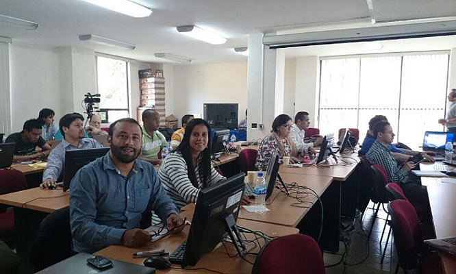
Objective and GoalThe Workshop was a follow-up to the main recommendations made by participants in a Workshop on the Use of Space Science and Technology for the Prevention of and Response to Disasters in Mesoamerica, held in Tuxtla Gutierrez, Chiapas, Mexico in November 2013 and by participants in the Central American Meeting of Experts on the Use of Satellite Information for the Integral Management of Risks and Early Warning organized by the UN-SPIDER Programme, the Center for Coordination for the Reduction of Natural Disasters in Central America (CEPREDENAC) and the SWF on 31 March and 1 April 2014 in San Salvador, El Salvador. The aim of the Workshop was to strengthen both individual and institutional capacities for disaster prevention and relief in countries of Mesoamerica in the use of open-source software in combination with Earth Observation images. Profile of ParticipantsParticipants in the Workshop had one of two profiles a) professionals responsible for disaster prevention or response to disasters or b) technical personnel with some capacity in the use EO data to support the planning for disaster prevention or civil protection actions. Participants came from disaster prevention and civil protection authorities from Mesoamerican countries. Other participants were remote sensing and geographical information system experts from regional and national space science and technology institutions Co-OrganizersThe Workshop was organized by the organizers of the Workshop held in Chiapas: the Regional Centre for Space Science Education for Latin America and the Caribbean (CRECTEALC), the Mesoamerican Centre for Theoretical Physics (MCTP), the Secure World Foundation (SWF), the National Oceanographic and Atmospheric Administration as co-chair of the CEOS Working Group on Capacity Building and Data Democracy (WGCapD) and the National Institute for Astrophysics, Optics and Electronics (INAOE) again in coordination with Secretariat of GEO. The Mexican Space Agency (AEM) joined as a co-organizer. Overview of the program
The main goal was to continue promoting the use of Earth Observation (EO) images for disaster
reduction, in particular the on-going work and resources made available by the Global Earth
Observation System of Systems (GEOSS) and the capacity building and relevant resource
availability for Latin America and the Caribbean being developed under the EOPOWER project of
the European Commission.
Presentations addressed:
Speakers
Main conclusionsThe participants held discussions on the usefulness of software systems, commercial and opensource, that could be used with Earth Observation data in models like TerraMA2, to extract information that would be useful to decision-makers in the prevention and response to disasters, particularly in flooding and drought. The participants concluded that although some of their institutions had and used commercial imagery and software, long-term continuity could be ensured if their institutions developed proficiency in acquiring free or low-cost imagery and in the use of open-source software such as QGIS and TerraMA2 . The participants concluded that Earth Observation can be valuable support to decision-makers responsible for disaster prevention, mitigation and rehabilitation activities but that additional awareness and capacity building for the disaster management and the scientific and technical communities is needed. The participants proposed to establish a working group among themselves to promote and disseminate the use of geo-information oriented to Mesoamerican development. The working group would begin addressing Mesoamerica Open-Source Activities (MOSDA) that would include data and software.
|
| Diseño por Crectealc | Una Web de Crectealc | f G+ |
